by Leisa McCracken | May 28, 2024
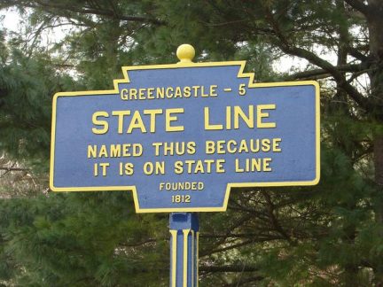
Thursday June 20th, 2024 * 6:00 PM The Middleburg/Mason-Dixon Line Historical Society will meet at the State Line Ruritan Building, 15481 Park Drive, located off Route 11 at the State Line, PA Community Park. Guest speaker is Barry Elliott from Chambersburg, PA. Barry...

by Janet Pollard | Apr 28, 2020 | Blog
The arrival of the automobile in the early 1900’s changed the way people traveled. At first, the automobile was not very popular. Roads were rough making it unsuitable for driving. Therefore, travel was via horse and buggy or train. This all changed thanks to...
by Janet Pollard | Apr 3, 2020 | Blog
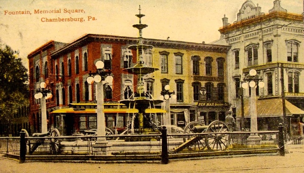
Memorial Fountain in the center of Chambersburg is beautiful. It sits on the convergence of two major highways, Route 11 and Route 30—the Molly Pitcher Highway and the Lincoln Highway. The Memorial Fountain has been standing, on the “diamond” since 1878, to honor the...
by Janet Pollard | Jun 5, 2018 | Blog
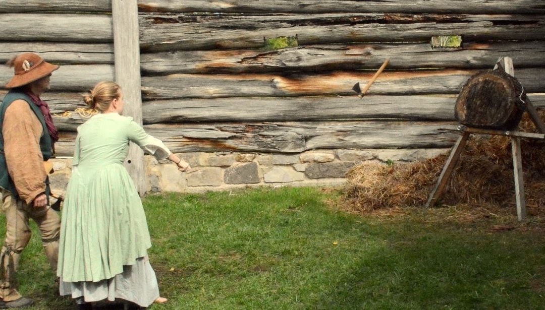
Fort Loudoun Historical Society invites all to Colonial Day at Fort Loudoun on Saturday June 16th, 9am to 3pm. Fort Loudoun was a provincial fort built in 1756 by the Colony of Pennsylvania during the French and Indian war and served as an important supply depot in...
by Janet Pollard | Apr 4, 2018 | History
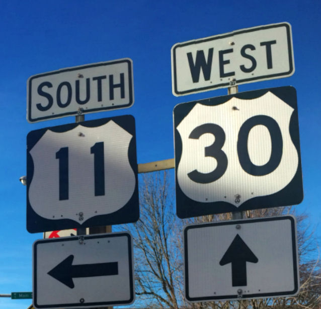
Yes, it will be the name of the Franklin County Visitors Bureau’s new home–the 11/30 Visitors Center. But long before the visitors bureau took up residence at the crossroads of downtown Chambersburg, 11/30 was where Molly Pitcher Highway meets the Lincoln...